Country: Slovenia Region: Kranj Length: 34 km Elevation gain: 1820m Maximum elevation: 1420 m Technical difficulty: 4/5 Download GPS Track: Kranj_incredible trails_Cyclotrail Date of ride: 02.06.2024. Suitable for E-bike: Yes
When we decided to go in Preddvor to ride local trails, I didn’t expect that second trail would be one of the best trails I have ever ridden. I had gpx track for second trail and from the video I knew that this trail would be interesting, but ascent and descent combined had about 700 meters of elevation gain and about 15 km lenght. It was to little to ride and to travel from Zagreb, so I added one ascent and descent which I drew blindly not knowing the terrain. At the end we got about 1800 elevetion gain and about 12 km of bike trails. First part is on paved road, later we connect to gravel road which is very very steep almost all the time. Luckily we were on e-bikes so it was easier for us. At 7th kilometer we connected to the trail that leads to both descents. First part of that trail wich leads to intersection to the second descent is rideable with electric bike, but after that intersection becomes even more steep, so we had to push our bikes.
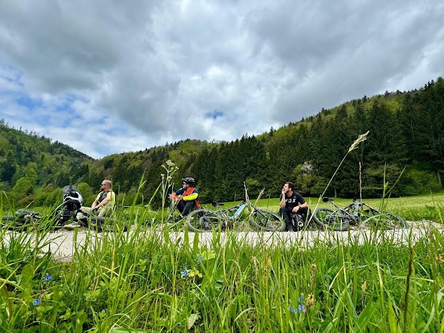
Country: Slovenia Mountain: Kamnik Length: 40 km Elevation gain: 1353m Maximum elevation: 1600 m Technical difficulty: 5/5 Download GPS Track: Kamnik_The ridge ride_Cyclotrail Date of ride: 05.05.2024. Suitable for E-bike: Yes
This route is ideal for e-mtb and these kind of trails are now fully enjoyable and more rideable uphill when you have some assistance. You can also ride this route with normal bike, but be prepared to walk a little bit more on the ascents at the ridge. We parked at the parking spot of cable car to Velika Planina because my plan was to ride Dolski Graben from Velika Planina, after we descent from Kamnik. Luckily, we had time, but trail from Velika Planina was nearly destroyed due to large amounts of rain that poured out last year.
Length: 35 km Elevation gain: 940 m Maximum elevation: 815 m Tehnical difficulty: 4/5 Download GPS Track: Rychlebsky trails_Cyclotrail Date of ride: 12.08.2023 Suitable for E-bike: No (shuttle and E-mtb are forbidden)
Last year we went to Czech Republic to ride some interesting trails. I have never seen those tipe of trails in Croatia, with these type of granite stones so I was intrigued when I saw this ladscape. I wont go into details about gpx, directions and trails, because there are information on their official website of Rychlebsky trails. This page on my blog is just to give you an option what to ride if you find yourself in nearby. It is good to know that it is not possible to shuttle to the top and that e bikes are not allowed on the trails if you are under 55 years.I liked very much trails that are marked as black and double black. If I could choose now, I would not ride Superflow trail, and instead of it I would ride Velbloud trail. (i feel sorry that we didn’t have time to ride it).
Considering that many rolls and drops are blind, it is good to look first, to know exactly where to go. I enjoyed these treils a way better on second day when I knew what to expect. So for full experience you should ride at least 2 times per trail.